Our Programs
MIRI pursues its mission and goals under five major clusters namely:
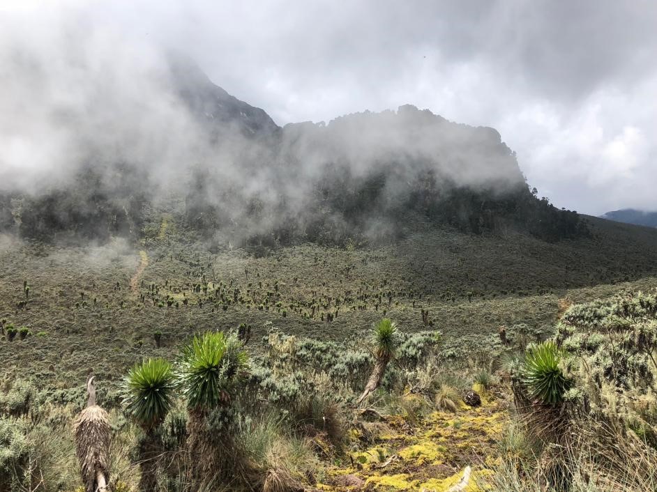
Climate Change and Adaptation in Mountains
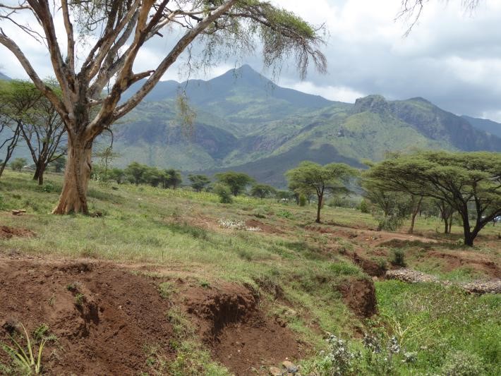
The mountains are very complex, varying in altitude, slope orientation, extent and vegetation cover. Thus, changes in climate are bound to vary from one mountain to another and also according to elevation and so is the nature of vulnerability and response mechanisms.Monitoring of the changes in climate is important in understanding possible interventions measures (such as developing appropriate early warning systems) for effective adjustment especially for areas vulnerable to landslides, floods, diseases and pests. Unlike mountains in the northern hemisphere, the tropical mountains including those in Uganda are poorly equipped with weather stations thus limiting detailed understanding of the changes. Further to this, there are no detailed models yet developed for mountains due to their complexity.
MIRI is working in collaboration with other stakeholders to provide sustainable, transformative and innovative solutions towards reducing vulnerability of mountain dwelling population. Such solutions include: a) securing technology support such as installation early warning systems e.g., automatic weather stations GIS/remote sensing aided mapping for monitoring ecological hot-spots b) building capacity of local actors to respond to climate related impacts, c) Research and development including knowledge co-creation with other actors and local communities, d) strengthening the capacity of local governments and new cities in climate change planning and action implementation, e) working to uplift the livelihoods of local communities while taking a gendered approach, f) providing innovative financing models for local climate action, g) working towards finding solutions for climate induced migration.
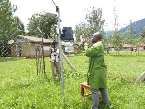
Monitoring of Weather and climate:
We have established two auto weather stations and manual rain gauges at secondary schools (Bulucheke SS and Gamatui SS) in Mt Elgon. Our vision is to have a good network of both auto weather stations and rain gauges, and build capacity in schools in order to effectively monitor the weather parameters in such topographically complex terrain. We are seeking for assistance from our development partners and well-wishers to acquire more auto weather stations.
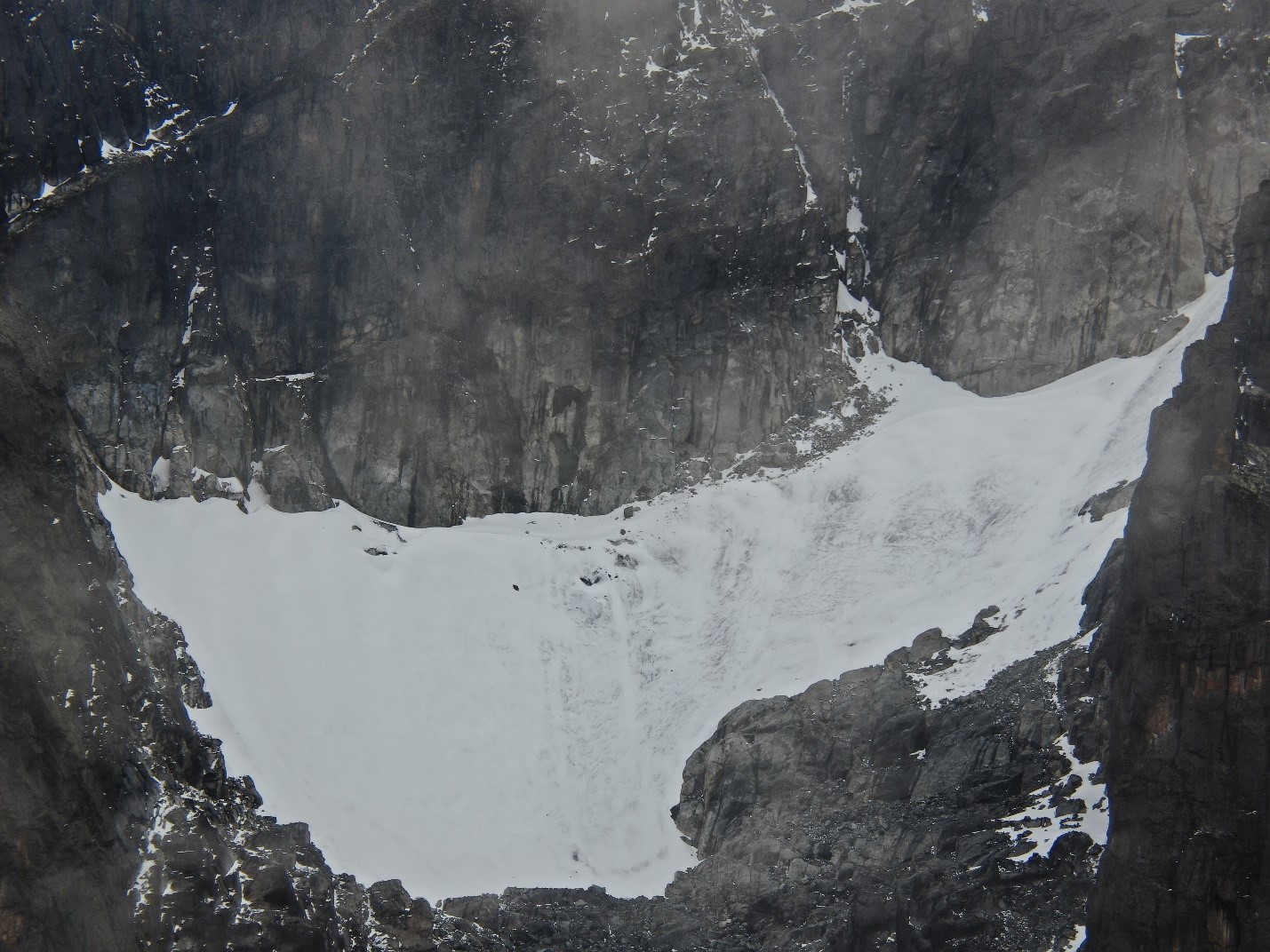
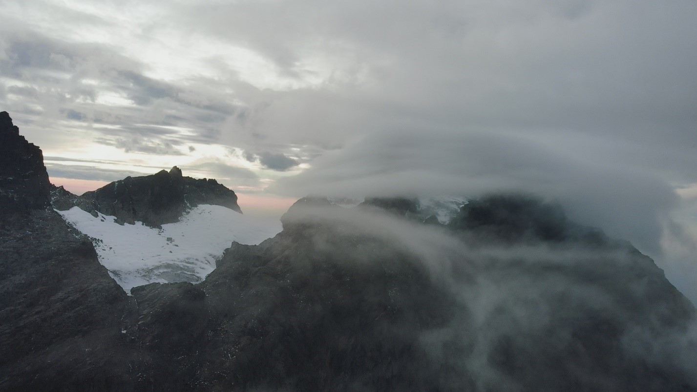
Glacial changes:
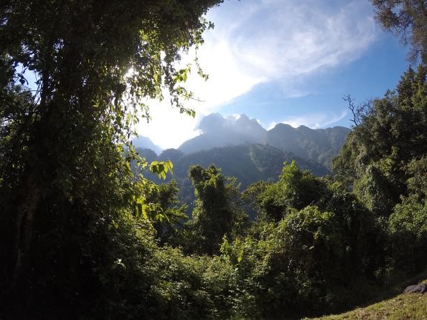
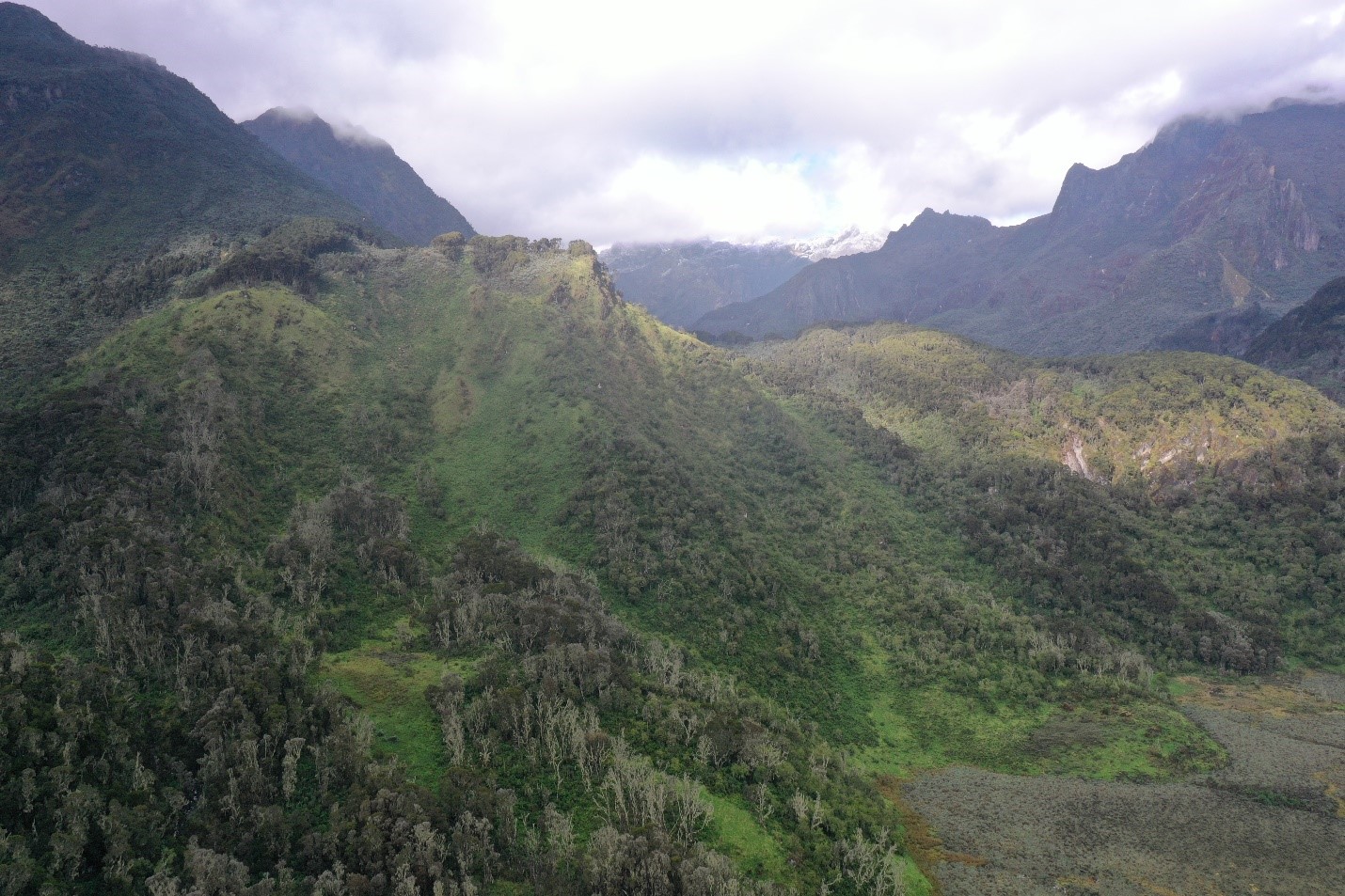
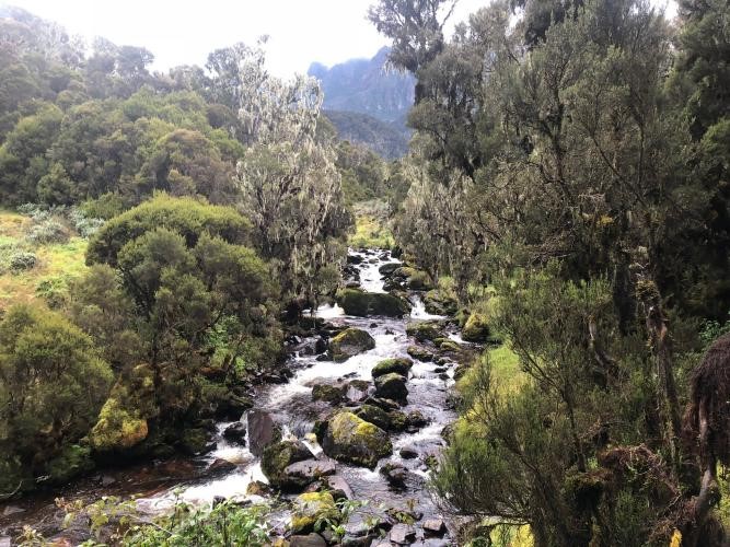
Glacial change is a key indicator of global environmental change especially in terms of climatic changes. The change in glacial cover area and volume have numerous ecological and socio-economic implications e.g. (i) on availability of water resources downstream (ii) alpine plant species distribution (iii) tourism. Through partnerships with local and international institutions, we participate in monitoring of glacier recession using remote sensing and field observation in Mt Rwenzori. Some of our products in form of publications can be accessed online.
Monitoring Disasters
Database
Disaster Risk Reduction
Mountains are increasingly vulnerable to climate change induced hazards and disasters. We target to monitor and provide innovative solutions to key disasters prominent in mountain environments such as landslides, floods, fires and lightning. Our approach relies on partnerships with citizens, universities, NGOs and partners. We also engage in co-production of outputs which are disseminated via our social media, website and presentations at various fora. Further information on monitoring of disasters is provided below:
(i) Monitoring Disaster
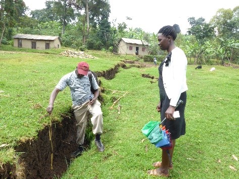
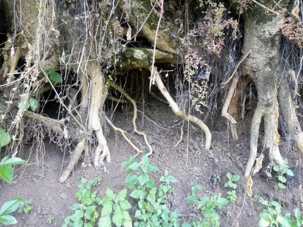
Landslide monitoring and risk management
MIRI research team monitors different types of earth movements such as landslides, debris flows, earthflows, mudflows, rock falls and soil erosion. It applies varied technologies and methods such as remote sensing, field observations, interviews, and discussions. The purpose of monitoring these phenomena is to secure relevant qualitative and quantitative data for informing policy, practitioners, planners as well as research programmes at multi-scale levels. We operate and work in partnership locally with local communities, nationally with government plus private institutions, and internationally with educational institutions, GEO MOUNTAINS, GLOMOS among others.
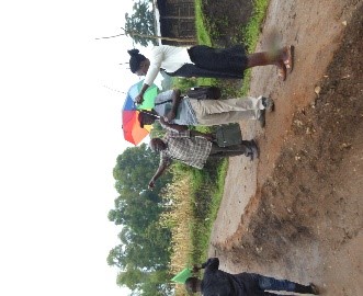
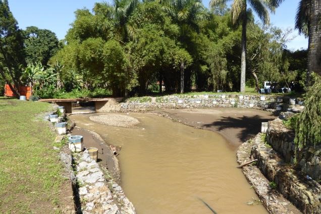
Monitoring Station for Debris Flows
What is MIRI monitoring and why? After careful scrutiny of the vulnerable areas in the mountain, we established a station for monitoring debris flows in Bukalasi and Bushika. We monitor channelised and hillslope debris flows. The data collected contributes to DF database construction for improved monitoring, forecasting/ prediction and prevention or management of the associated risks, and informing the local technical team in making effective decisions.
The DF station builds on previous monitoring of the general landslides, which relied on field surveys, imagery data, observations, citizen science and desk research. The target is to strengthen a foundation for innovating solutions to the scientific questions. For instance, what are the most effective strategies to reduce or prevent DFs? What are the key inter-playing factors in DFs occurrence in the area?
Monitoring is being undertaken by the MIRI research team in collaboration with the local government technical team, local citizens and university researchers. The factors that influence DF are not only complex but differ in different places and scale. Therefore, any studies undertaken in such an area to unveil the interplaying factors is crucial for improved design of risk management strategies.
How is the monitoring setting: the carefully selected catchments/watersheds (see photos below) are prone to mass movements, have steep terrain, weak lithology, high stream density, high population density, intensive landuse and with some adaptation practices. The climate can be described as montane climate type, with two major wet seasons (March to May, and August to October. The annual amount of rainfall received varies from 1500 to 1800mm per annum. Please click here for further information.
(ii) Database
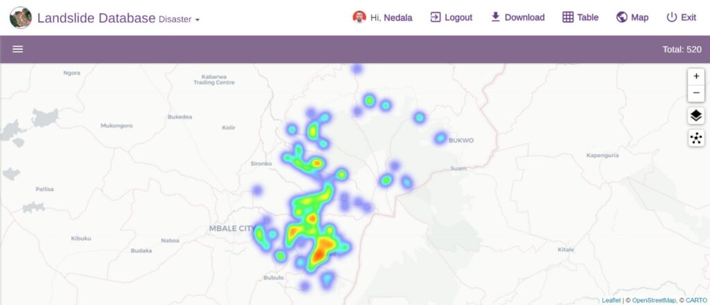
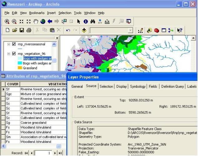
Landslide Geodatabase
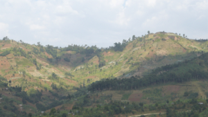
MIRI is developing the most extensive and comprehensive landslide database in Uganda. This database covers landslide events dating back to the 1970s which is continuously validated and updated to ensure the highest quality of data. Currently, it contains 520 landslide records from the Mt. Elgon and Rwenzori landscapes, with each point representing a specific landslide event. New records are added as additional information becomes available. In the future, we plan to make this data open source. The data primarily originates from field mapping and collaborations with fellow researchers through our partnerships.
(iii) Disaster Risk Reduction
Community resilience through landslide restoration
A case study of Bushika sub county in Bududa district, Mt Elgon
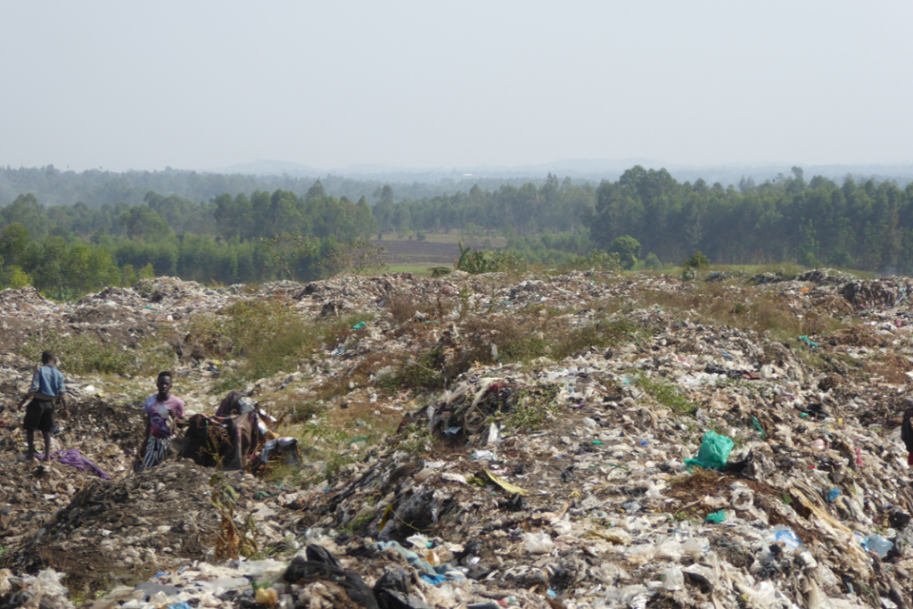
Mountain ecosystems are threatened by increased degradation and loss of biodiversity owing to increasing population pressure and climate change. Landslides and soil erosion undermine ecosystem services hence the community resilience. Efforts to address such threats and therefore mountain sustainability are very important.
A community project on landslide rehabilitation was undertaken by Shunya Yettana now renamed as Elgon Cooperative Uninion limited (ECUL) in partnership with MIRI. It was supported by the SGP/GEF/UNDP (70M UGX) and the community (20M UGX). A baseline study first undertaken to establish more information gaps and needs. Communities were then empowered through awareness and skilling in nursery preparation, contour stone alignment, use of biotechnology and alternative income generation. Grass bunds were established and different tree species planted to stabilize the landslide scars and other risky spots.
A project evaluation was done after 2 years. Communities gave testimony of the success underscored in this project. They gained and integrated knowledge about assisting nature in restoring degraded sites that would otherwise be unproductive for a long time. Alternative income generation activities were key in enhancing their livelihoods. The communities were in agreement to upscale these efforts to landscapes experiencing related problems. For more information, please click here.
Monitoring fire outbreaks
Fire outbreaks whether human or naturally caused pause a serious threat to properties, ecological services and human lives in major mountains of Uganda. The MIRI research team from its Disaster Research Unit (MIRI_DRU) is monitoring the fire incidences and impacts using remote sensing, historical record analysis, GIS modeling and field observation techniques. We work in close associations with local responsible institutions (e.g. National Park Authorities, local government technocrats and local communities) and internationally with Universities such as Brown University in the USA.
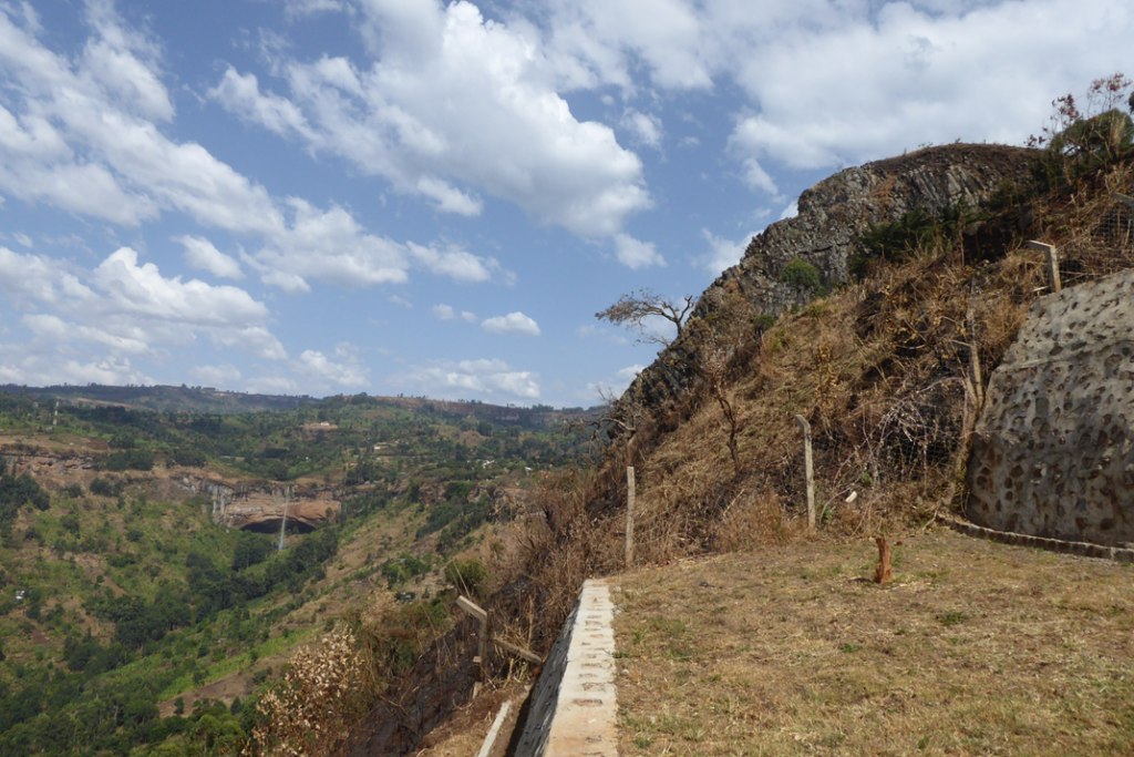
Landslide Eco-Engineering
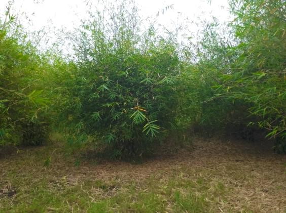
Ecological engineering, which involves using ecological and engineering tools to predict, design, construct, restore, and manage ecosystems impacted by disasters, is a key innovation that MIRI has embarked on in Uganda. The initiative aims to map tree species that can be utilized to restore landslide scars and stabilize risky slopes. Pilot studies were conducted in the Elgon region through bamboo planting and the establishment of vetiver grass in the Rwenzori region. This research was further extended in 2021 with a pilot study aimed at understanding how tree roots contribute to the stabilization of shallow landslides on the fragile slopes of Mt. Elgon. MIRI is still committed to this research with a number of observation points being established.
Biodiversity and Socio-Ecological System
Ecosystem Restoration
Research & conservation
Bio- products & value chain
Overview:
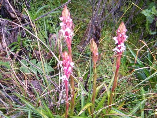
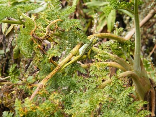
It is now common knowledge that mountains are endowed with rich biodiversity owing to their diverse environmental conditions including soils, terrain, altitude, gradient, land use among others. However, increasing population pressures compounded by climate change are negatively impacting on the biodiversity in and outside protected areas. Consequently, the linked ecosystem service benefits and human well being are at stake. Actions taken at national and global level e.g. Convention on Biodiversity , the Global Biodiversity Assessment are important in creating awareness about the biodiversity status and the need for action to ensure sustainable utilization. Nevertheless, there is a lot yet to be done especially at local level if current rates of biodiversity loss are to be reversed. For instance: How do local communities value the contribution of biodiversity to their local economies and socio-cultural wellbeing? Which community led actions have been effective in biodiversity conservation? How can such efforts be best scaled up amidst increasing population demands and development? How will climate change impact on community led efforts in biodiversity conservation?
MIRI is strengthening its efforts through participatory engagement with key stakeholders on the ground to generate innovative solutions that can contribute to turn the tide particularly in hotspot areas. It is our belief that the solutions rests with the communities. Please for further information click here.

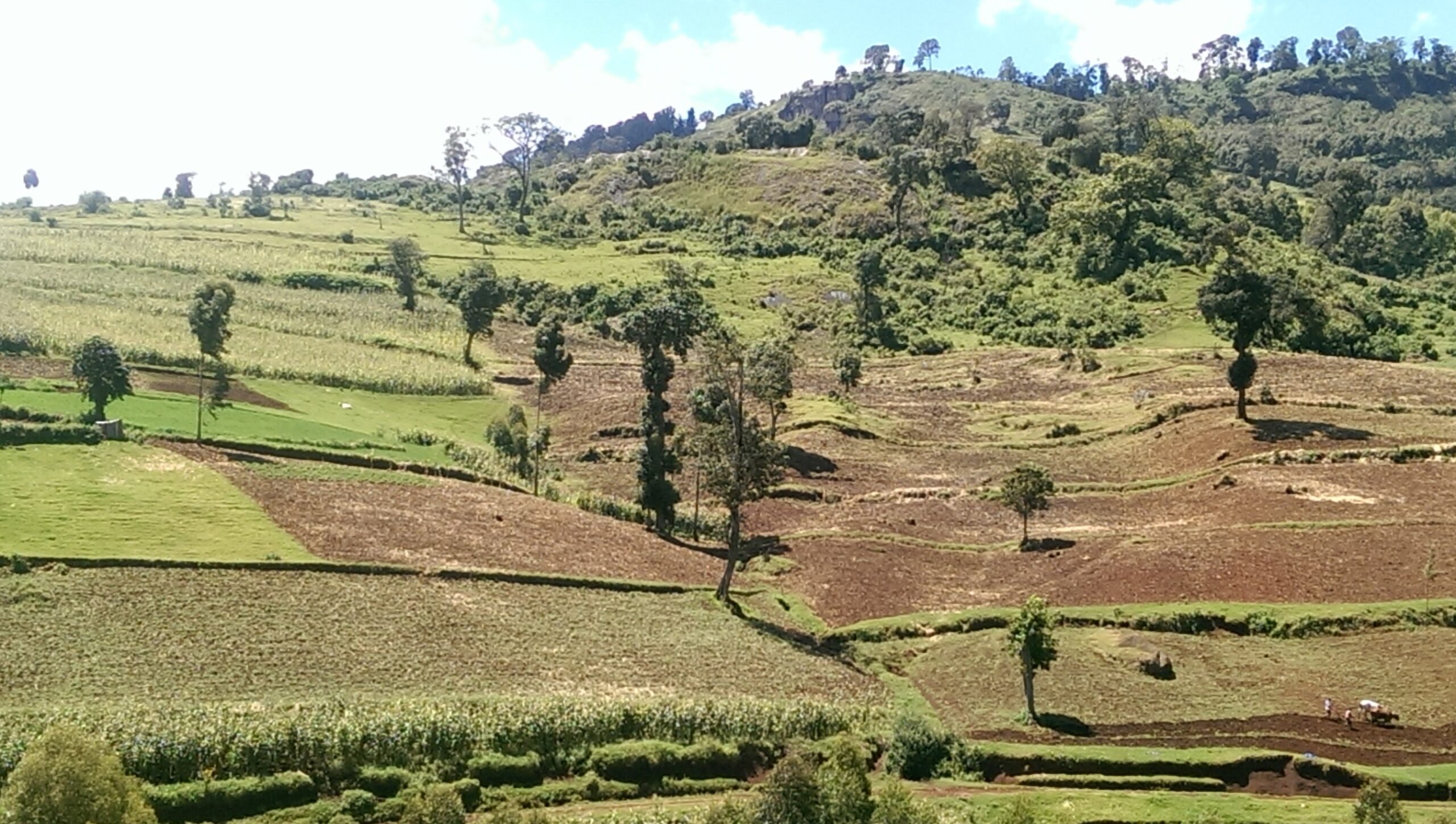
Monitoring land use changes: its effect on biodiversity and ecosystems services:
Monitoring land use changes and emerging consequences on biodiversity in vulnerable landscapes adjacent the riverine and conservation areas is paramount to informing action for appropriate management policies at multiple scales. Land use and cover is dynamic in both space and time. There are many inter-playing factors such as population increase, climate change, economic demands among others driving the changes. Monitoring is necessary so as to underpin the current and future dynamics. Click here for more information.
Nature based Solutions (NBS)
NBS is nature inspired multifunctional oriented solution(s) to address economic, social and environmental challenges confronted in vulnerable environments such as mountain regions. We emphasize the living component of the NBS, while noting that the non-living can be pertinent in some circumstances. MIRI emphasizes and promotes adoption of innovative NBS designs in tackling the various problems faced in mountains. We undertake participatory research in assessing the different design types and effectiveness of the NBS in order to inform policy and practice at various levels. For further information about our activities relating to NBS, please click here.
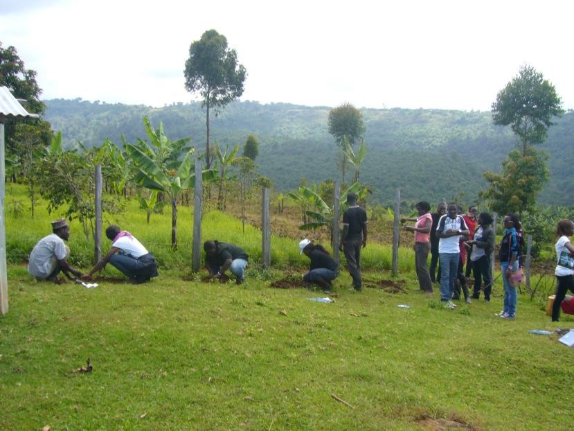
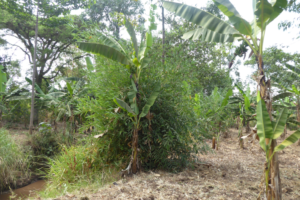
Bamboo project for strengthening community adaptation and resilience to climate change
Working closely in partnership with CLESI, bamboo planting (O. abysinica) was implemented in Bwikonge to mitigate climate change through carbon sequestration but also as an adaptation intervention to promote water infiltration that would otherwise cause flooding. It also acts as a future resource material for biochar making to remedy degraded soils and brickette making for renewable energy. There are other ecosystem services that bamboo performs, for instance, stability of river banks, material for craft making, crop staking, influencing microclimate conditions among others.
Communities (100 male and female members) received awareness about the importance of bamboo. Fifty members were trained in planting and seedling management. GGF and UNDP provided the initial funding for securing the seedlings. The local community provided labour. MIRI has helped in technical backstopping and is continuing to network with other organisations and partners for additional support, sharing expertise and lessons learnt.
The Bamboo project was positively perceived by the community. A lot of other community members who did not benefit directly have expressed willingness to get involved. We hope to secure more resources in order to get more beneficiaries on board.

Natural Resources, Governance and Livelihood
Mountains are endowed with numerous resources for supporting livelihoods and development. However, exploitation of these resources demands careful consideration to avoid or minimise negative consequences as required by the national policies and laws. Very often poor methods of resource extraction or utilisation have led to environmental pollution, population displacement, marginalisation and other social injustice, which may as well be inter- generational.
Mountains have protected areas (e.g. Forest reserves, National parks) that are key for promoting tourism as well as offering a range of other ecological services for supporting national and local development. Population upsurge around many of the protected mountain areas exerts tremendous pressures on the resources within the areas, which often leads to conflicts. Thus. one of the challenges confronted by resource managers is how to safeguard the protected areas resources while ensuring the ever increasing needs of the adjacent communities are met.
MIRI plans to involve in innovative participatory research and capacity building to understand and implement equitable conservation, and enhance community voice in conservation policy-making particularly in adjacent protected areas in mountain regions. For more information, please click here.
Capacity Development
(i) Training :
GIS and Remote sensing
MIRI offers a wide range of activities which include trainings, mapping services, data analysis and expert knowledge and advise to individuals and companies interested in Geo Information Technology (GIT). With a wide network of experts, we deliver tailor made trainings in basic and advanced GIS and Remote sensing (RS), mapping, and other GIT solutions. Our courses are usually fee-based and may be offered through face-to-face training, seminars, workshops or e-Learning.
(ii) Training in DRM
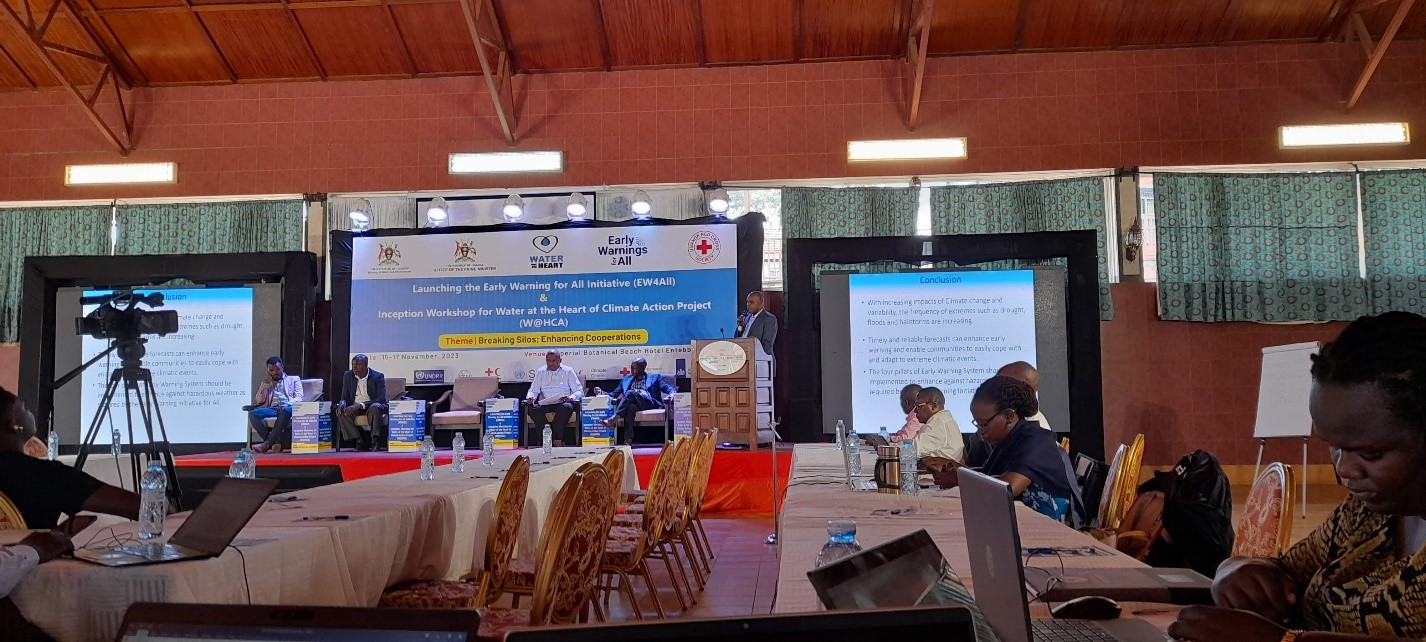
We offer short-term training in Diaster Management cycle, Emergency Response, Preparedness, Anticipatory Action (AA), Early Warning Systems. Please click here for further information.
(iii) Consultancies
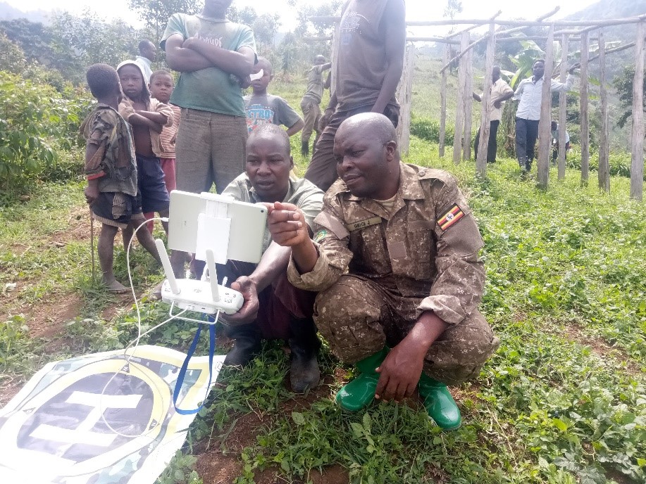
MIRI offers services in mapping, UAV/drone and cartography. For further information please click here
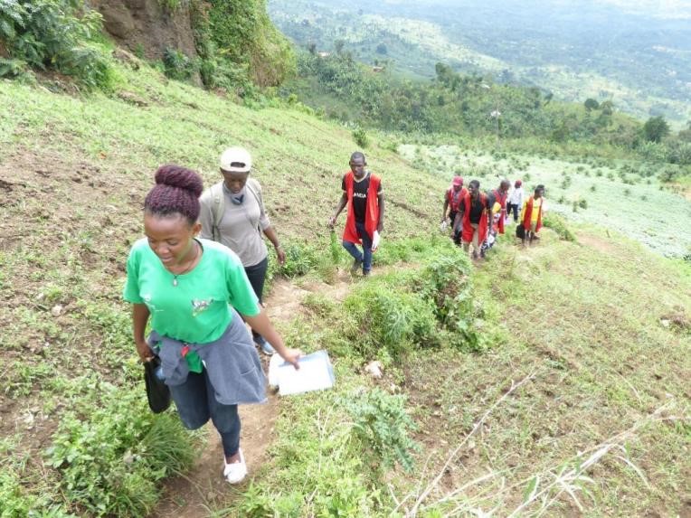
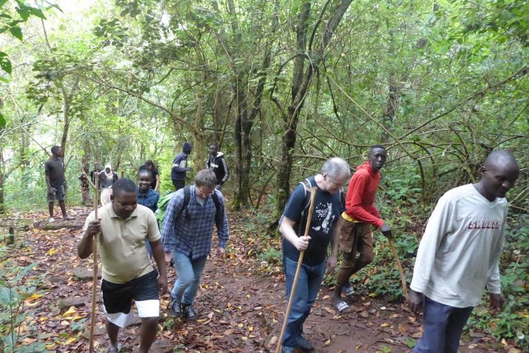
(iv) Field Engagement for eco-learning and-tourism
We plan, organize and conduct interesting professional interdisciplinary field excursions for different clients including students, nature visitors, workshop and conference participants.
The clients engage in experiential activities that contribute to strengthening community resilience while also deriving spiritual benefit or satisfaction. On some occasions the planned activities entail participatory engagement with communities in co-identification of problems/issues and solutions. These may include (i) greening of the degraded landscapes through tree/shrub/grass planting (ii) clean-ups (iii) signage (iv) cultural dance/song. This imparts a lasting memory for the client as well the communities but also nature conservation footprint. What are you waiting for? For further information and or sign up, please click here